Log in
All resources
Create a design
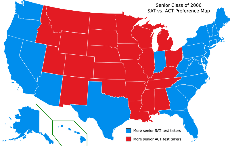
1,126 Free Images of Charts And Maps
maps by frederick william beechey
frederick william beechey
charts and maps of the royal museums greenwich
cc-zero
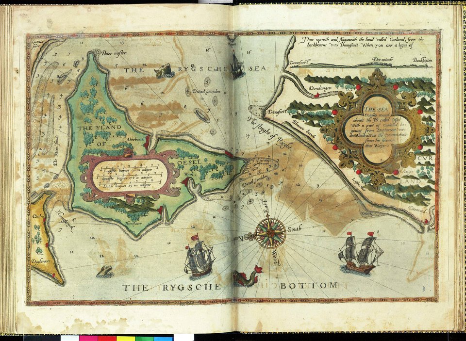
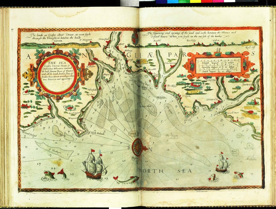
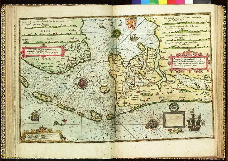
lucas janszoon waghenaer
symbol
ocean
cartography
nautical
craft
charts and maps of the royal museums greenwich
lucas janszoon waghenaer
charts and maps of the royal museums greenwich
lucas janszoon waghenaer
icons
symbol
charts and maps of the royal museums greenwich
lucas janszoon waghenaer
charts and maps of the royal museums greenwich
charts and maps of the royal museums greenwich
lucas janszoon waghenaer
symbol
maps
artworks with known accession number
artworks without wikidata item
artworks without wikidata item
trading card
old constellation maps
maps by samuel dunn
self-published work
pages with maps
self-published work
cc-zero
icons
maps
maps of territories in the lower saxony circle
19th-century maps of lower saxony
self-published work
cc-zero
icons
maps
china
smile
animals
icons
people reading maps
nautical chart
self-published work
pages with maps
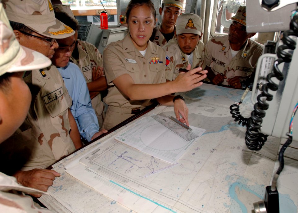
aboard uss green bay (lpd-20)
people with maps
background
symbol
icons
maps
icons
symbol
hawaii
china
people reading maps
interpretation
business
maps
naval activities at night
people with maps
united states
america
navigation
bosphorus
hawaii
man
self-published work
pages with maps
maps by jacques-nicolas bellin
old maps of saint lucia
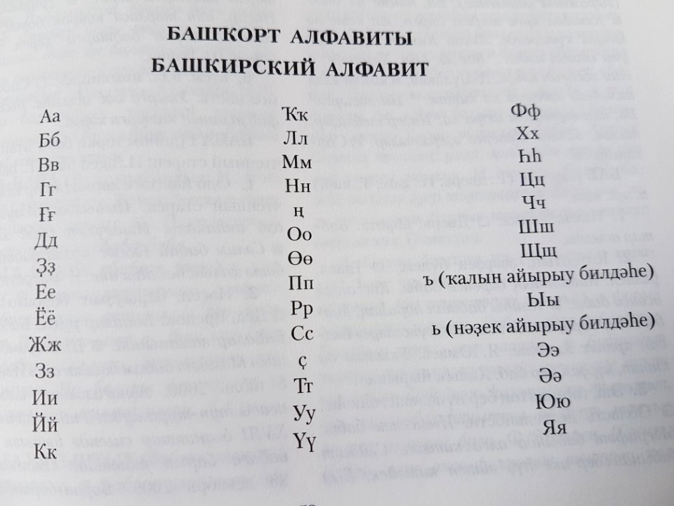
alphabet charts
lord's prayer
vehicle
car
hydrographic and oceanographic department, japan coast guard
old japanese nautical charts
lawrence h. slaughter collection of english maps, charts, globes, books and atlases
nypl lionel pincus and princess firyal map division
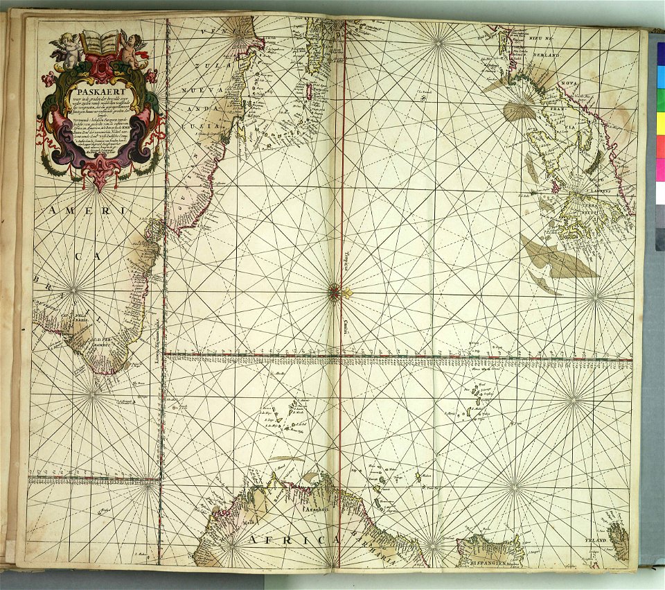
maps by edward wright
molyneux globes
european exploration of africa
portuguese empire
nouméa
group
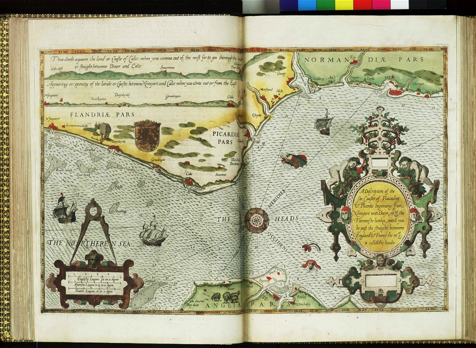
admiralty charts region b: england wales ireland english channel southern north sea
admiralty charts 1801-2000
mapping
human
mapping
human
lawrence h. slaughter collection of english maps, charts, globes, books and atlases
maps of nieuw nederland
16th-century maps of guyana
old maps of french guiana
mapping
human
admiralty charts region b: england wales ireland english channel southern north sea
admiralty charts 1401-1600
1816 maps
1684 maps
maps by willem and johannes blaeu
dutch-language maps
charts and maps of the royal museums greenwich
1777 maps
charts and maps of the royal museums greenwich
1778 maps of new york (state)
admiralty charts 2601-2800
sligo bay
cartouches by willem and johannes blaeu
dutch-language maps
admiralty charts region r: usa and mexico west coasts
admiralty charts 401-600
18th-century french nautical charts
historical images of souda bay
old maps of the tuamotus
old maps of polynesia
admiralty charts 2601-2800
tralee
18th-century maps of the baltic sea
1770s maps of sweden
admiralty charts region b: england wales ireland english channel southern north sea
admiralty charts 1401-1600
admiralty charts region c: scotland
admiralty charts 1801-2000
old maps of the polish-lithuanian commonwealth
17th-century maps of prussia
charts and maps of the royal museums greenwich
1777 maps of new york (state)
eran laor cartographic collection
tranquillo mollo
eran laor cartographic collection
tranquillo mollo
charts and maps of the royal museums greenwich
1590 maps
a & c black general atlas of the world
1850s maps of the world
admiralty charts region b: england wales ireland english channel southern north sea
admiralty charts 2401-2600
carta hydrographica y chorographica de las yslas filipinas
baroque painting
eran laor cartographic collection
tranquillo mollo
kantharos harbour (piraeus)
maps of piraeus
18th-century maps of the mediterranean sea
1745 maps
maps in the library of congress
1750s maps of central america
18th-century french nautical charts
old maps of thessaloniki
lawrence h. slaughter collection of english maps, charts, globes, books and atlases
de nieuwe en onbekende weereld
admiralty charts region b: england wales ireland english channel southern north sea
admiralty charts 1001-1200
symbol
maps
maps of the turks and caicos islands
1782 maps of the caribbean
admiralty charts region d: eastern north sea baltic norway iceland faroes svalbard
admiralty charts 3001-3400
media contributed by the frick collection
naïve art
a voyage to abyssinia, and travels into the interior of that country, executed under the orders of the british government in the years 1809 & 1810
john outhett
portolan charts made in the 17th century
maps by willem and johannes blaeu
voyages and travels to india, ceylon, the red sea, abyssinia, and egypt, vol. 2
henry cooper (engraver)
1780s maps of the philippines
old maps of palau
admiralty charts 1001-1200
avacha bay
a voyage to abyssinia, and travels into the interior of that country, executed under the orders of the british government in the years 1809 & 1810
john outhett
lawrence h. slaughter collection of english maps, charts, globes, books and atlases
1640s maps of the americas
admiralty charts region c: scotland
admiralty charts 4001-
maps in the british museum
1780s maps of france
maps in the library of congress
battle of cherbourg (1864)
maps of the gambier islands
admiralty charts 1001-1200
admiralty charts region c: scotland
admiralty charts 2001-2200
illuminated manuscripts in the museo correr
pietro vesconte
old maps of zeeland
old maps of holland
old maps of skagerrak
maps of oslofjorden
maps by william home lizars
1810s maps of the world
admiralty charts 2601-2800
achill head
bodleian maps collection
1610s maps of the world
admiralty charts region u: north america east coast
admiralty charts 201-400
lucas janszoon waghenaer
bretagne in the 1580s
admiralty charts region u: north america east coast
admiralty charts 201-400
601 - 700 of 1,126
Next page
/ 12


![[Edward Wright, Chart of the World ], Edward Wright, 1610](https://cdn.creazilla.com/illustrations/10000975501/edward-wright-chart-of-the-world-edward-wright-1610-sm.webp)


